Our road map for Macquarie Park: New access alignments
Leaders from across our area met recently for the launch of a landmark new report at our Macquarie Park Summit. Connect MPID’s road map highlights challenges and opportunities which need careful attention if Macquarie Park is to grow succesfully. Today, we look at transport and accessibility.
To the city in 18 minutes:
Macquarie Park is already home to Australia’s first autonomous Metro system, serving three stations in the area.
That system will expand in 2024, connecting Macquarie Park to the city via dedicated lines through new tunnels beneath Sydney Harbour.
Journey times from Macquarie Park to Barangaroo will be slashed to just eighteen minutes in fully-autonomous, air-conditioned comfort. Journeys to Sydney airport will take about half an hour.
More transport options will increase access to talent, and improve the perception of Macquarie Park as a well-connected centre of innovation. However, Macquarie Park needs better connections to the east and west in order to grow.
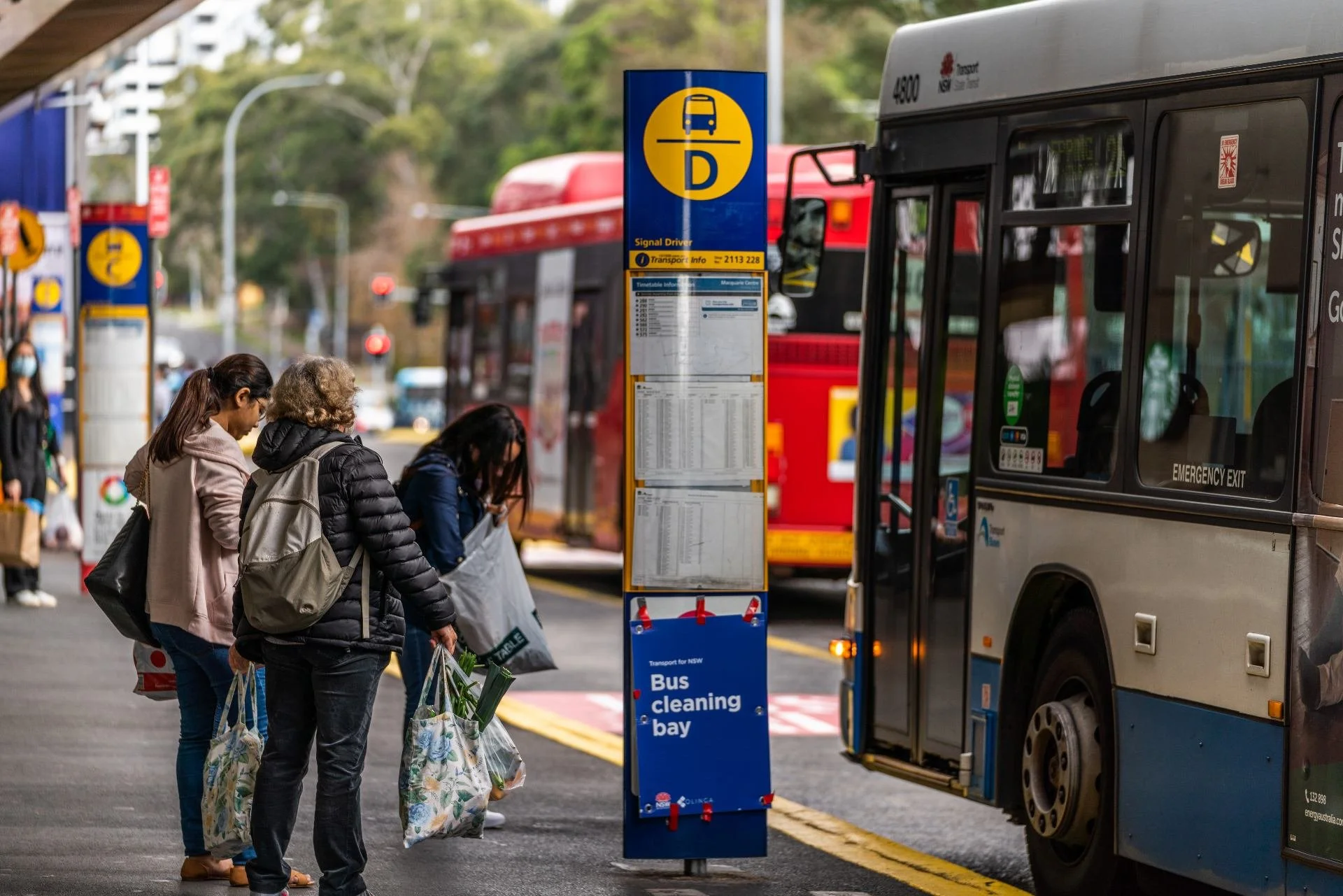
Potential Solution:

Public transport from Parramatta can take an hour and fifteen minutes, compared to just 30 minutes by car. Meanwhile, Northern Beaches commuters tell us they are the least satisfied and have the least transport choices.*
Strategic plans for new bus routes from Parramatta and Mona Vale first appeared in 2013 and 2018.
A new rail connection from Parramatta to Epping has also been proposed, but could take decades to deliver.
In tandem with long-term rail planning, we believe a new Parramatta <> Macquarie Park <> Northern Beaches access alignment should be expediated, served by dedicated high-capacity ‘B-line’ style buses and delivered within 5 years.